


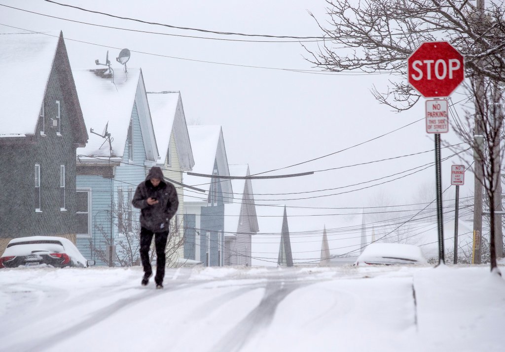
A man walks across the intersection of Smith Street and Cumberland Ave on March 23. Derek Davis/Staff Photographer
It ain’t over till it’s over.
A spring nor’easter will arrive in Maine on Wednesday evening and could dump a foot or more of snow on parts of the state by Friday morning. High winds and heavy snow will combine to create a risk of downed branches and power outages.
“This is probably going to be one of the more significant snows we’ve seen this season,” said Jon Palmer, a meteorologist at the National Weather Service in Gray.
Palmer said flakes will arrive in York County by 5 or 6 p.m. Wednesday. Snow will spread through the state overnight and continue most of Thursday. Portland could get 8 inches, while the forecast is for 14 in Sanford and 18 in Fryeburg. Winds are expected to reach 55 mph along the coast, and inland areas could see gusts up to 40 to 45 mph. The storm will peter out by Friday morning, and flakes will likely turn to light rain.
“It’ll be snowing through almost the entire day on Thursday and into Thursday night, with some locations on the coast changing over to rain by the end of the day on Thursday,” Palmer said.
Several cities in southern Maine have implemented parking bans starting Wednesday night.
Portland will implement a citywide parking ban starting at 10 a.m. Wednesday through 6 a.m. Thursday. Trash collection on Thursday has also been postponed until Saturday.
In Westbrook and Gorham, parking bans will be in effect from 11 p.m. and midnight Wednesday, respectively, until 6 a.m. Friday.
This winter was one of the warmest and least snowy on record for Maine. But many are still cleaning up from an ice storm last week that knocked out power for nearly 200,000 customers across the state.
A spokesman said Central Maine Power spent the day looking over the entire transmission system by air. A line inspector in a helicopter pointed out hazards – a worn-out cross arm, a tree that looks like it could fall – and dispatched crews to take preventive measures. Breed did not know how many problem spots were addressed Tuesday.
“We are tracking this storm closely, and we are making preparations across our service area. As the forecast continues to evolve over the next 24 hours, we will continue to refine our planning,” Jon Breed said. “Preparations today included helicopter inspections of our entire transmission system, which is the backbone of our electric grid.”
Copy the Story LinkSend questions/comments to the editors.

Success. Please wait for the page to reload. If the page does not reload within 5 seconds, please refresh the page.
Enter your email and password to access comments.
Hi, to comment on stories you must . This profile is in addition to your subscription and website login.
Already have a commenting profile? .
Invalid username/password.
Please check your email to confirm and complete your registration.
Only subscribers are eligible to post comments. Please subscribe or login first for digital access. Here’s why.
Use the form below to reset your password. When you've submitted your account email, we will send an email with a reset code.