


In the wake of Maui’s recent wildfires, the deadliest in the United States in more than a century, it’s worth noting that Maine has a long history of major conflagrations that have over the years left towns in ruins from Bar Harbor to Brownfield.
With its many drenching rainstorms this year, there’s little reason to worry unduly about a serious blaze soon.
The Maine Forest Service currently rates the entire state as low risk for fire.
However, much of Maine still faces a long-term risk from fire.
A free online tool called Risk Factor, created by the nonprofit First Street Foundation, found that almost two-thirds of the properties in Maine “have some risk of being affected by wildfire over the next 30 years.”
It’s possible to check the risk for fires, floods and other hazards for any particular property on the Risk Factor website.
But history shows that during dry periods, the 17.5 million acres of Maine forest can fuel serious fires.
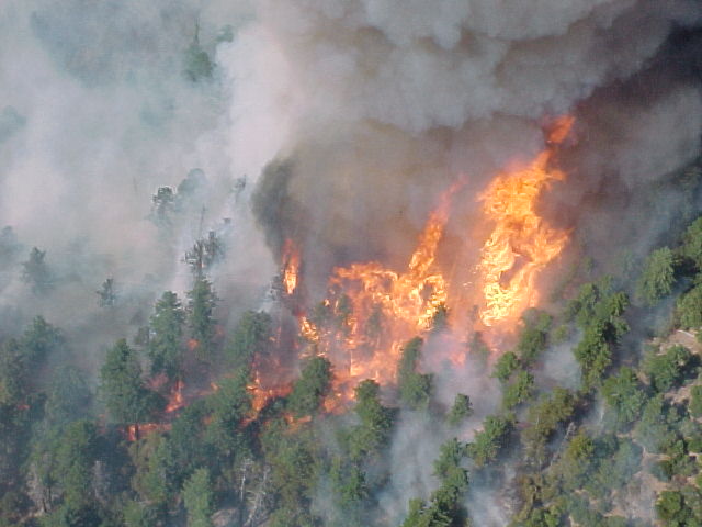
Flames rage through the Maine woods. Maine Forest Service file photo
The Great Fire of 1825, which ravaged at least 832,000 acres in Maine — almost the size of Rhode Island — was the biggest and most destructive forest fire ever seen east of the Mississippi River.
In 1947, fires during another Maine drought burned down 1,300 homes in a number of towns. Fires that year ravaged more than 200,000 acres.
The fire in Hawaii, which killed at least 96 people, burned most of the historic town of Lahaina on the western coast of Maui, long a favorite of tourists. Strong, dry winds stoked by an offshore hurricane created a blaze that flared suddenly and outraced efforts to contain it.
The Maui fire is the nation’s deadliest since a 1918 wildfire in northern Minnesota, also spurred by gusty and dry winds, raced through 38 towns and killed about 1,000 people, according to the National Weather Service.
For sheer size, though, the 1825 fire in Maine dwarfs any maelstrom experienced in the eastern half of the country. Throw in the connected fire in New Brunswick and it’s among the largest seen anywhere.
In Maine that October, the fire broke out in Guilford, northwest of Bangor. Strong winds sent the flames racing along, creating an inferno through most of thinly-populated Penobscot County.
While many homes, businesses and barns went up in flames, there is no record of anyone dying in Maine because of the fire.
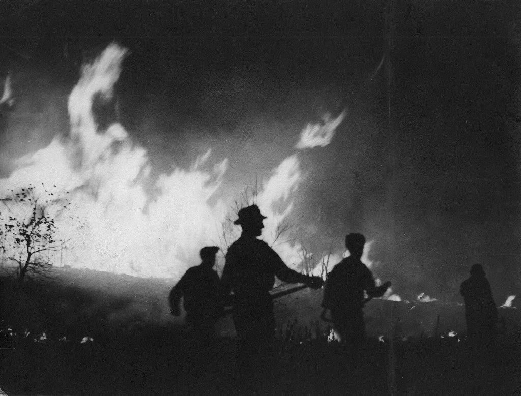
Residents of Newfield in York County fight through the night in October 1947 in a effort to save their homes. Portland Press Herald file photo
Mainers weren’t as fortunate in October 1947, when a series of fires killed 16 people and consumed scores of homes on Mount Desert Island. The fires turned parts of many other towns to ashes, including Newfield and Kennebunkport’s Goose Rocks Beach community, both in York County.
Over the decades, the number and size of wildfires in Maine has shrunken notably, but whether the trend will continue as the climate keeps changing is uncertain.
Copy the Story LinkSend questions/comments to the editors.

Success. Please wait for the page to reload. If the page does not reload within 5 seconds, please refresh the page.
Enter your email and password to access comments.
Hi, to comment on stories you must . This profile is in addition to your subscription and website login.
Already have a commenting profile? .
Invalid username/password.
Please check your email to confirm and complete your registration.
Only subscribers are eligible to post comments. Please subscribe or login first for digital access. Here’s why.
Use the form below to reset your password. When you've submitted your account email, we will send an email with a reset code.