


The flooded streets, power outages and property damage that have rocked Maine over the last month have served as an emphatic reminder that the Pine Tree State is both wetter and warmer than it was 100 years ago.
About 6 inches wetter, on average, per year, according to state climatologist Sean Birkel. Despite episodic droughts, Birkel found that every season, including winter, has seen an increase in precipitation over the last century, largely due to climate change.
While no individual storm can be attributed to climate change, scientists like Birkel can link long-term weather patterns like the frequency and ferocity of precipitation and temperature to the increase in heat-trapping greenhouse gases in the atmosphere.
Birkel describes it like this: our atmosphere pulls water from both the soil and the sea. Warm air can hold more moisture than cold air – for every degree of increase, the atmosphere can hold about 4% more water per unit area. That means that when it rains now, it is much more likely to pour.
And to date, this winter has been very warm, Birkel said.
This week, Maine was primed for stormy weather. Portland hit 51 degrees, much higher than the seasonal norm of 17 to 34 degrees. When the storms rolled through, the unseasonably high temperatures made the bad weather worse, he said.
Climate change made Portland’s daily average temperature Wednesday at least twice as likely, according to the Climate Shift Index, which calculates climate change influence on temperature on a given day. It was developed by Climate Central, a nonprofit climate science organization.
Climate change is when average weather conditions vary significantly over long periods, becoming warmer or wetter over decades or centuries. Blaming climate change for a single weather event is not easily done, and requires an in-depth analysis that has yet to occur for any of these storms.
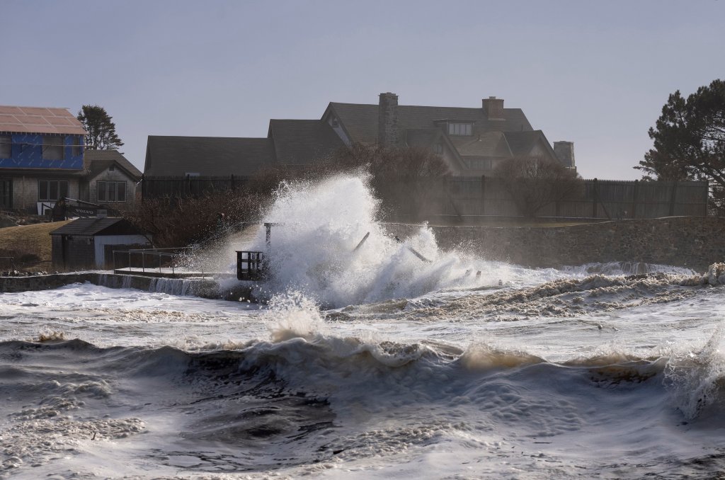
A wave crashes over the pier at the Bush family compound on Walker’s Point in Kennebunkport on Wednesday. Gregory Rec/Staff Photographer
In a traditional winter storm, with temperatures down in the 20s and 30s, the atmosphere would not have been able to hold as much moisture, leading to less overall precipitation. And that precipitation would have come in the form of snow, like the weekend storm, not rain like the one that hit Tuesday night into Wednesday.
That is about to change, however. Arctic air will descend on the United States early next week and push east, hitting Maine midweek and creating the first few days of sub-normal temperatures, said Derek Schroeter, a meteorologist with the National Weather Service in Gray.
“That’s something we haven’t experienced so far this winter,” Schroeter said.
Send questions/comments to the editors.

Success. Please wait for the page to reload. If the page does not reload within 5 seconds, please refresh the page.
Enter your email and password to access comments.
Hi, to comment on stories you must . This profile is in addition to your subscription and website login.
Already have a commenting profile? .
Invalid username/password.
Please check your email to confirm and complete your registration.
Only subscribers are eligible to post comments. Please subscribe or login first for digital access. Here’s why.
Use the form below to reset your password. When you've submitted your account email, we will send an email with a reset code.